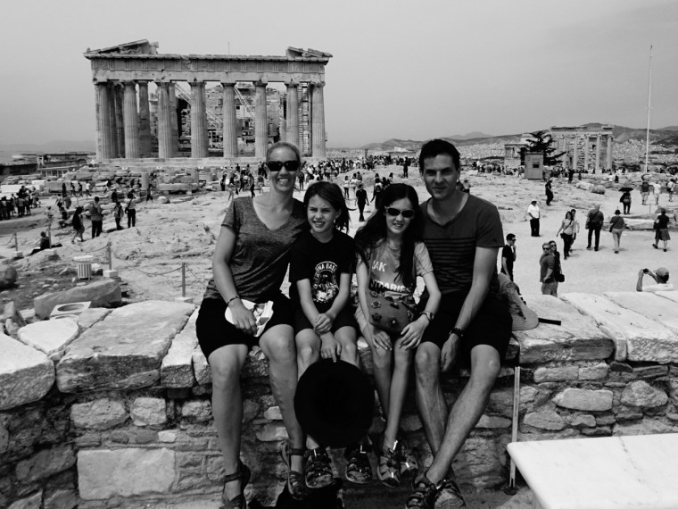
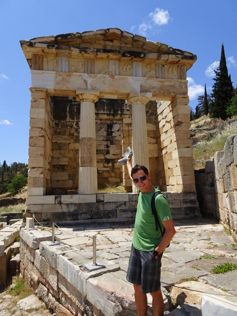
Greece wasn’t all about the ancients. I was excited just to be there. ‘Look’, I whispered in Amy and Oliver’s ear during our first supermarket outing. ‘Real Greek people!’. Amy and Oliver sighed, pushed me away and told me to stop being silly, but I’m not sure they really meant it so I also pointed out the Greek wine, the Greek Olives, and well, anything I laid eyes on which I figured was also Greek by virtue of being in Greece.
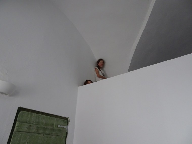
The supermarket was a five-minute walk from our apartment, the first we’d booked through Airbnb. It was on the tenth floor of a building which overlooked the hill where the marble for the Parthenon was quarried. It was also just a short walk from the metro which delivered us downtown each day.
Amy was nervous about catching the metro to begin with. It made me think how all of us find anything new uncertain to begin with. She didn’t know how the metro worked, how we would know which line to catch and how we would know when to get off. How could she? So she hung close and asked many questions. After three rides however, metro travel had become the highlight of her day. With the possible exception of Greek food, which also quickly became a hit.
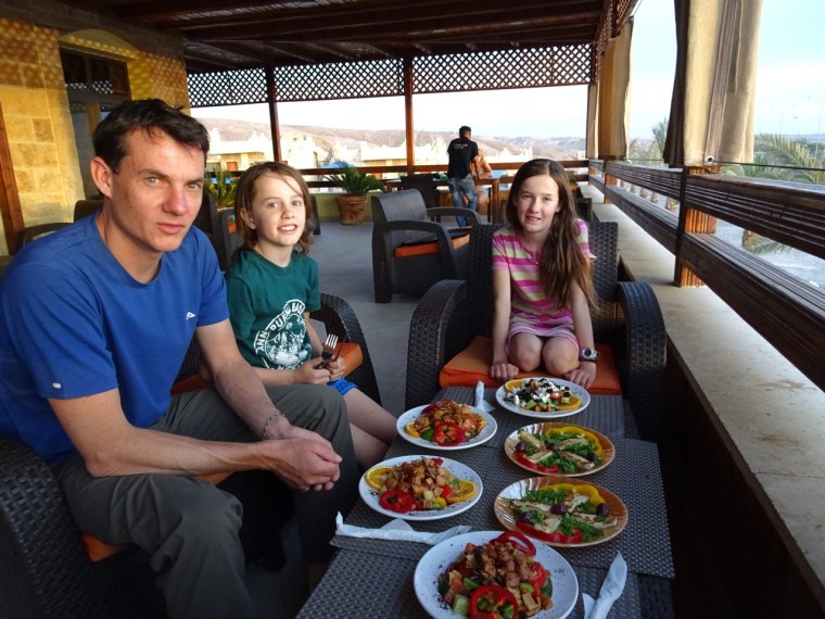
Gyros, filled with tzatziki, tomato, lettuce and chips, became our lunch of choice each day with Greek salad Amy and Oliver’s favourite dinner. They particularly loved the olives. ‘It’s going to be hard to go back to Australian olives after this’ Oliver told me. Yep we’re breeding little foodies.

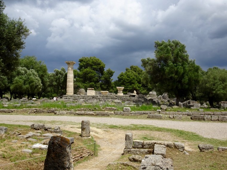
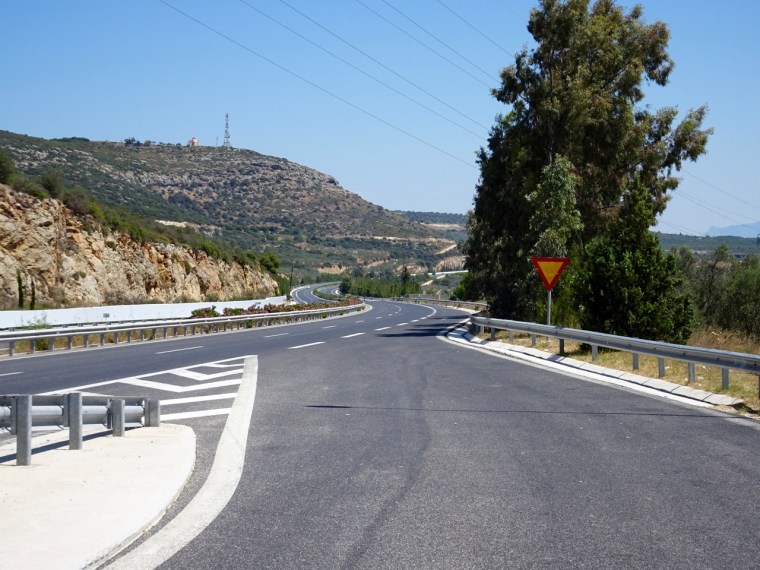
We had a rental car dropped off to us when we were done with Athens and hit the open road. Which really was open. I couldn’t help wonder where everybody was. Magnificent toll roads wend their way across Greece and from our limited observation hardly anyone uses them. The 300 kilometre drive we took from Olympia back to Athens included 6 toll gates, at an average of 50 km apart, and a total cost the equivalent of $30 Aussie dollars. Maybe that’s why the roads are empty.

That however was nothing compared to the bridge (the Rion Antirion) we crossed coming down the west coast. It is a grand affair to be sure, quite one of the more impressive looking spans of road I’ve seen so we anticipated a toll would be associated. I handed over a 5 euro note to the lady at the toll booth. I thought the sign said 3.2 euro so I anticipated my fiver should cover it, but she glared at me angrily clearly thinking I was making some bad joke. I soon realised my subconscious had blotted out the one in front of the three.
Thirteen euros plus change to drive across a bridge! I still haven’t recovered from the shock. Neither have the Greeks, because other than us, there was no-one on the bridge. Can you blame them? The Greeks must all use the car ferry instead, which we would have too if we knew it were an option.

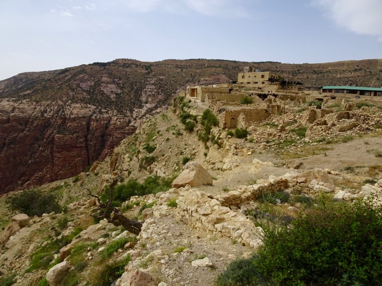
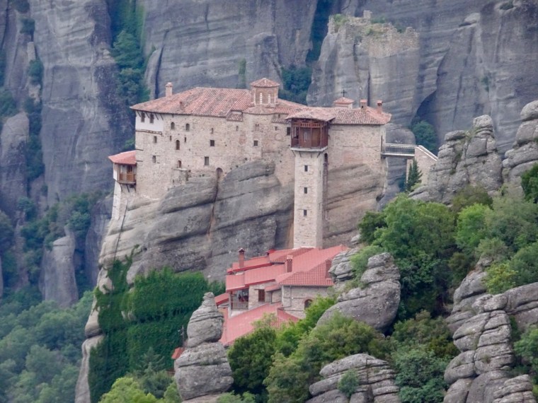
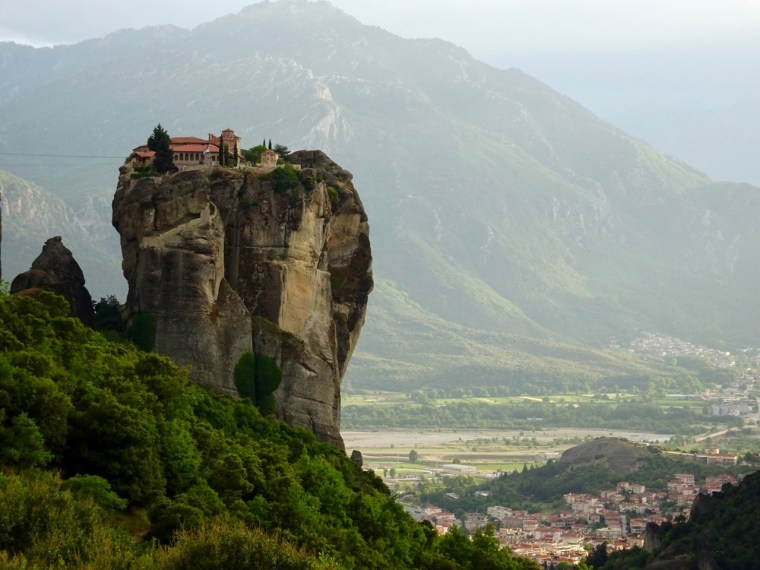
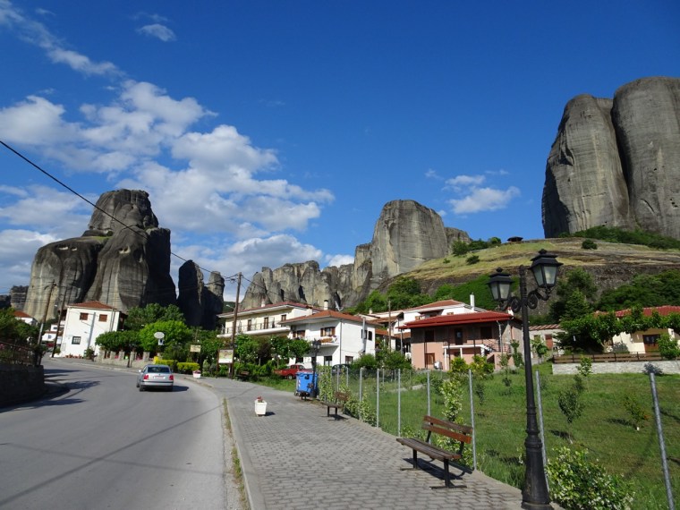
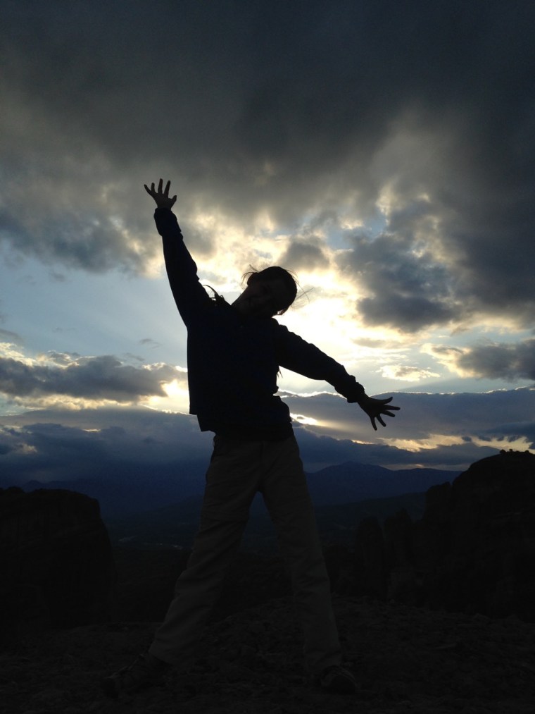
All these tolls took us to Meteora, a place I first saw many years ago on a screensaver with a beautiful picture of a monastery perched precariously on the summit of a towering rocky plinth. Back then I had no idea it was in Greece, but I loved the picture. Reality was as good if not better than the screensaver.

There used to be 24 monasteries perched on the rocky crags of Meteora. Today there are only six. They were built back in the 14th Century when the Byzantine Empire and the Turks were slugging it out for supremacy in this part of the world and the monks needed somewhere to hide lest they be caught in the cross fire. Just how they first climbed these towers before hauling up the makings of their homes I never did find out. Though I suppose desperate times call for desperate measures so the monks quickly took up rock climbing until one bloke could let down rope.
Once they were up and had constructed their homes on high, removable ladders, ropes and pulleys were used to climb up and down and keep everyone else out. A story goes that when curious visitors asked how frequently the ropes were replaced, the monks’ stock reply was ‘when the Lord lets them break’. I wouldn’t want to be the monk on the fraying rope who accidentally missed yesterday’s prayers.

Moni Agias Varvaras Rousanou was my favourite monastery. In fact, I could have lived there very happily if it didn’t require me to become a Greek Orthodox nun. This monastery had many of the ingredients I require in a house. Stunning views from a lofty elevated position, fun walkways and bridges making a dramatic entrance and a beautiful walk through a forest to reach the front door. That’s right I’ll settle for nothing less than a UNESCO world heritage listed property!


These days the monasteries make their money by charging folk like us 3 euros each to take a look around their lovely homes. We obliged them twice but I think I preferred the view from the outside. The Greek Orthodox artwork that adorns the interior (no photos allowed) is something of a downer, portraying some of the most horrific scenes you could imagine and a few you couldn’t.
Men hung by their ankles being flayed alive, crucified, having their heads crushed by large stone hammers, decapitation after decapitation and so many more imaginative and horrible ways to die covered a good half of the chapel walls and ceilings. It made me shiver. I don’t understand what purpose it serves either despite 9 years at a Catholic boy’s school.
Apparently the frescoes ‘…mark a key stage in the development of post-Byzantine painting’. Now there’s a universe of knowledge I know nothing about. It is somewhat less than cheery and not a place I cared to linger – though I found it hard to tear myself away. I guess I don’t really have what it takes to be a nun, or even a monk for that matter.
The monasteries do a roaring trade. Bus loads traipse through each day and it is clear that the monks and nuns are doing very well out of it. These monasteries may have been built a long time ago, but there doesn’t appear to be anything old about them or any expense spared in their upkeep and expansion. I couldn’t help but wonder if there wasn’t a more charitable use for the proceeds. I feel however that I am now in danger of making some comment I’ll later regret, so here’s me putting a sock in it.
The thing that surprised me most about Meteora was that the Monasteries made an already impressive natural environment even more impressive. It is unusual that a man-made structure should work to enhance a natural scene, but the rocky crags of Meteora are undoubtedly all the more wonderful for the buildings perched atop them.
No visit to Greece is complete without a visit to the Greek Islands and for some time we were deeply disturbed (ok that may be an overstatement) about how to decide which Island to visit. As ever, each decision to visit one place rules out ten other options. In the end we decided to visit Santorini, probably the most famous island of them all, because if we didn’t I’d get home and still being wondering about it. There was a risk however that it wouldn’t live up to the hype.
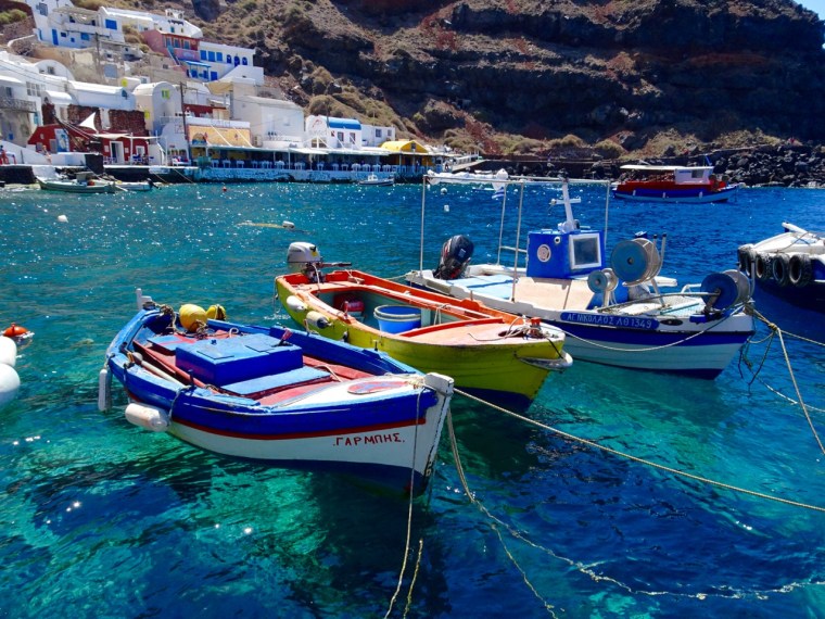
We needn’t have been concerned. Well I needn’t have, such things don’t bother Emma. It’s a skill she possesses which I lack. Santorini is the remnant of a very large volcano which last blew its stack in a serious way in 1645 BC. Perched atop the rim of the caldera overlooking the very blue Mediterranean are the towns of Fira, Fira Stefani and Oia. The caldera is special, but it’s the tangled mass of white walled laneways, buildings, walkways, bridges, overpasses, underpasses, terraces and shimmering swimming pools which make it spectacular.

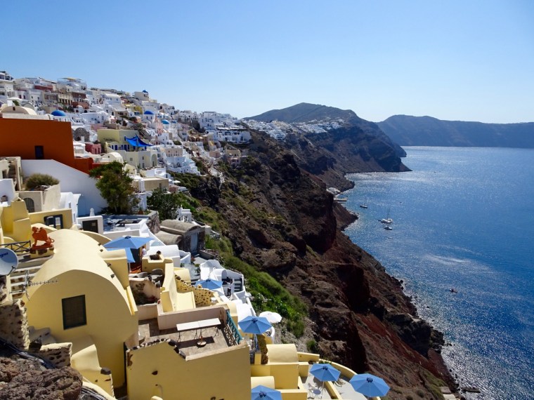
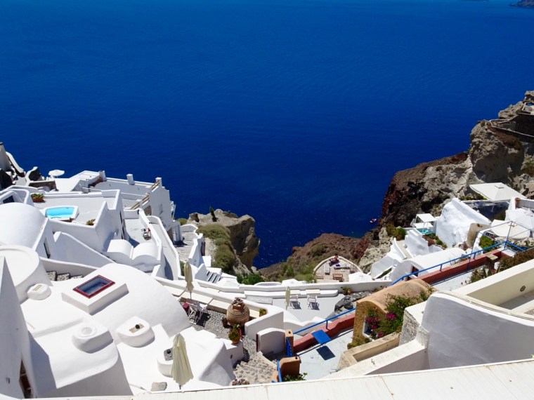


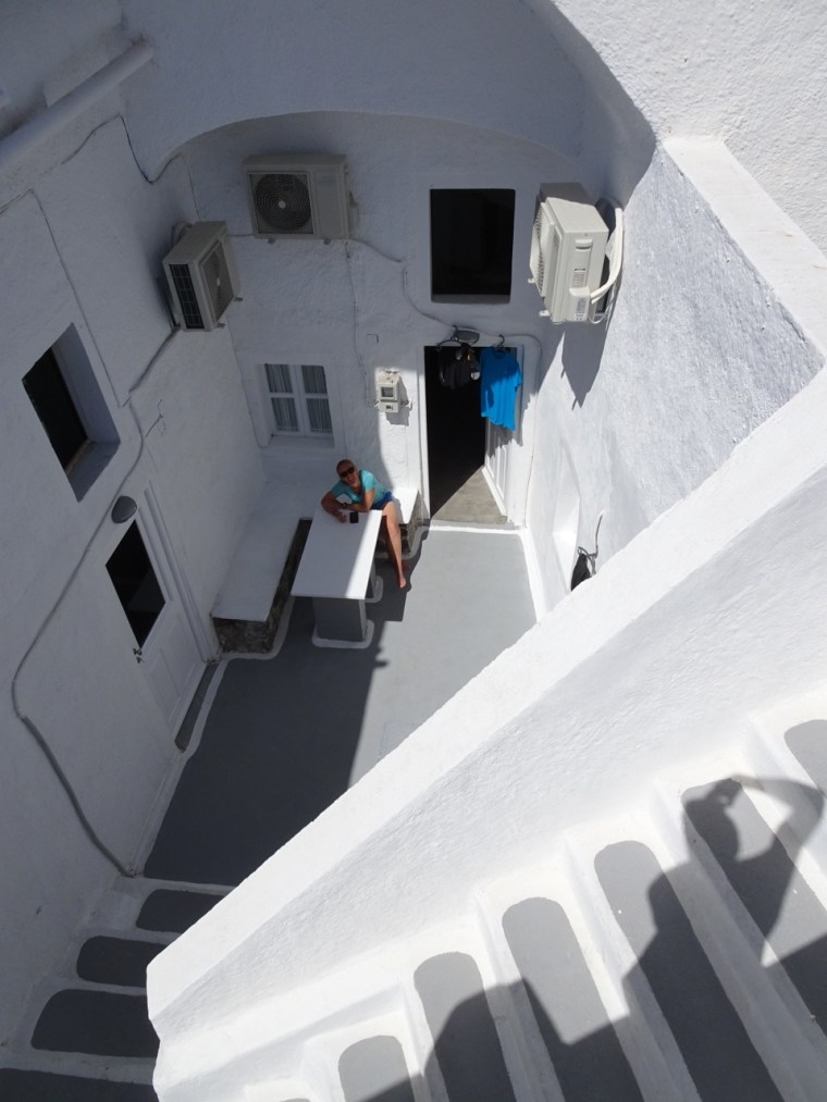
You couldn’t plan it and the randomness is a sight to behold. It’s just so… fun. And the brilliant white finish contrasts so beautifully with the deep blue of the Mediterranean and the splashes of colour added by potted plants, vines and flowers. We stayed in our own white walled apartment which was also architecturally fun, without a single straight line anywhere to be seen. It felt more like a cave and now I want one. Makes our house seem so boring!

Corrado, our host, reminded me of Gerard Depardieu being as he was of Italian descent. He came to Santorini for a weekend eight years ago, went home and sold his finance business and has been here ever since. Now there’s an idea…
Life on the water far below mostly included the coming and going of cruise ship after cruise ship, all of which pulled in for less than a day to disgorge their passengers in the morning before soaking them up again in the afternoon. In the meantime, the hordes spend obscene amounts of money at glitzy jewellery and tourist shops which make up a significant portion of the human habitation on the caldera. Up to 30,000 people a day will pass through from cruise ships at the height of summer! Glad we hit the shoulder season.

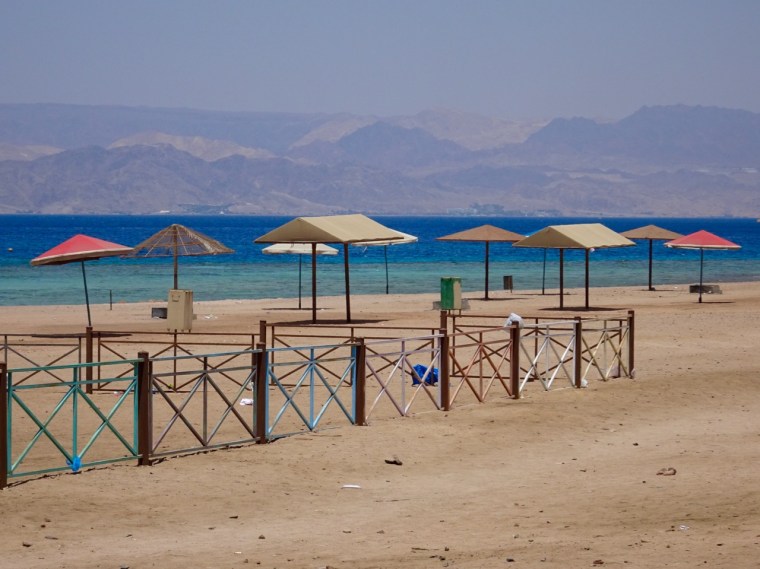
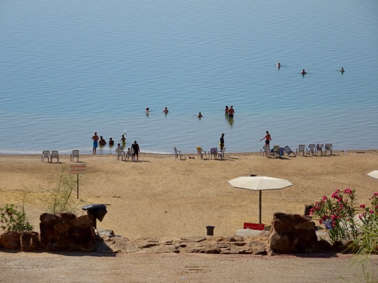
When we weren’t gawking at the view we were off exploring the rest of the island which soon became limited to swimming off the black sands of Perissa beach. It was novel having black sand instead of the usual golden yellow variety and just as pretty in its own unique way. I however was more interested in the people watching.

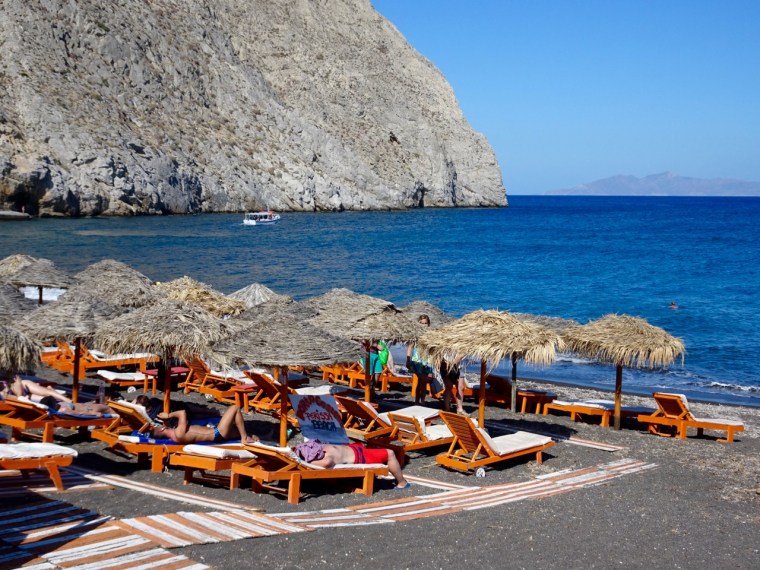

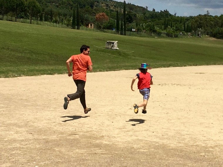
I am forced to admit I still haven’t come to terms with the ‘selfie’ phenomenon sweeping the globe. It amuses me greatly. We watched one woman at Perissa spend a solid 30 minutes standing in the water taking photos of herself with her selfie stick. I called it the selfie sprinkler, long arm extended, snap and twist just a few degrees then snap again. Continue in a circle until you’ve gone a full 360 degrees, and then just keep on going around and around as long as you like. Nine to ten rotations should do it. Afterwards you can go and sit on a deck chair and review the four hundred photos you just took of yourself (with apologies to all those selfie lovers out there).
Amy and Oliver thought it was hilarious too. Or maybe it was my description of the selfie sprinkler which they could occasionally be seen mimicking thereafter. I wanted to take a photo for you, but Emma rightly pointed out that wouldn’t have been appropriate.
So that, together with the afore written tales of our experience with the ancients, was Greece. I’d come back in a flash. Gorgeous country with so much to see and do. Next time, I want a yacht and three months to hop from island to island. Yep the itchy feet are still itching.